NATHPO Geospatial Director, John Swigart: GIS@NATHPO.org
When disaster strikes, areas of Tribal significance can be in peril. Not just from the forces of the disaster itself, but also from the mitigation measures that follow.
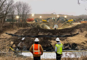
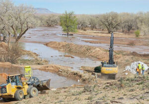
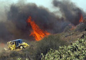
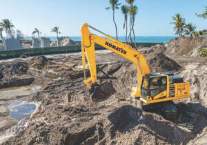
In order for THPOs or other Tribal officials to have an opportunity to protect these significant resources, they need to be promptly informed. The Land Area and Name Directory (LAND) is being developed to facilitate emergency response notifications to Tribal cultural resource officials when incidents occur in Tribal areas of interest (AOIs).
Location-Based Queries
THPO contact information is linked to Tribally defined AOIs, which can be queried in a web app using incident locations. When a user selects a location, the app returns the contacts for all Tribes with AOIs intersecting that location. THPOs can then be alerted about any potential threats to culturally significant places.
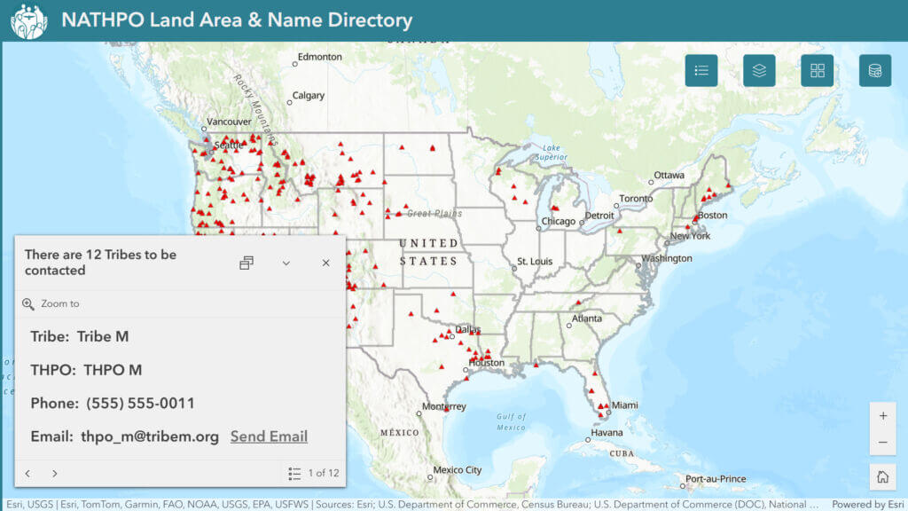
LAND in Action
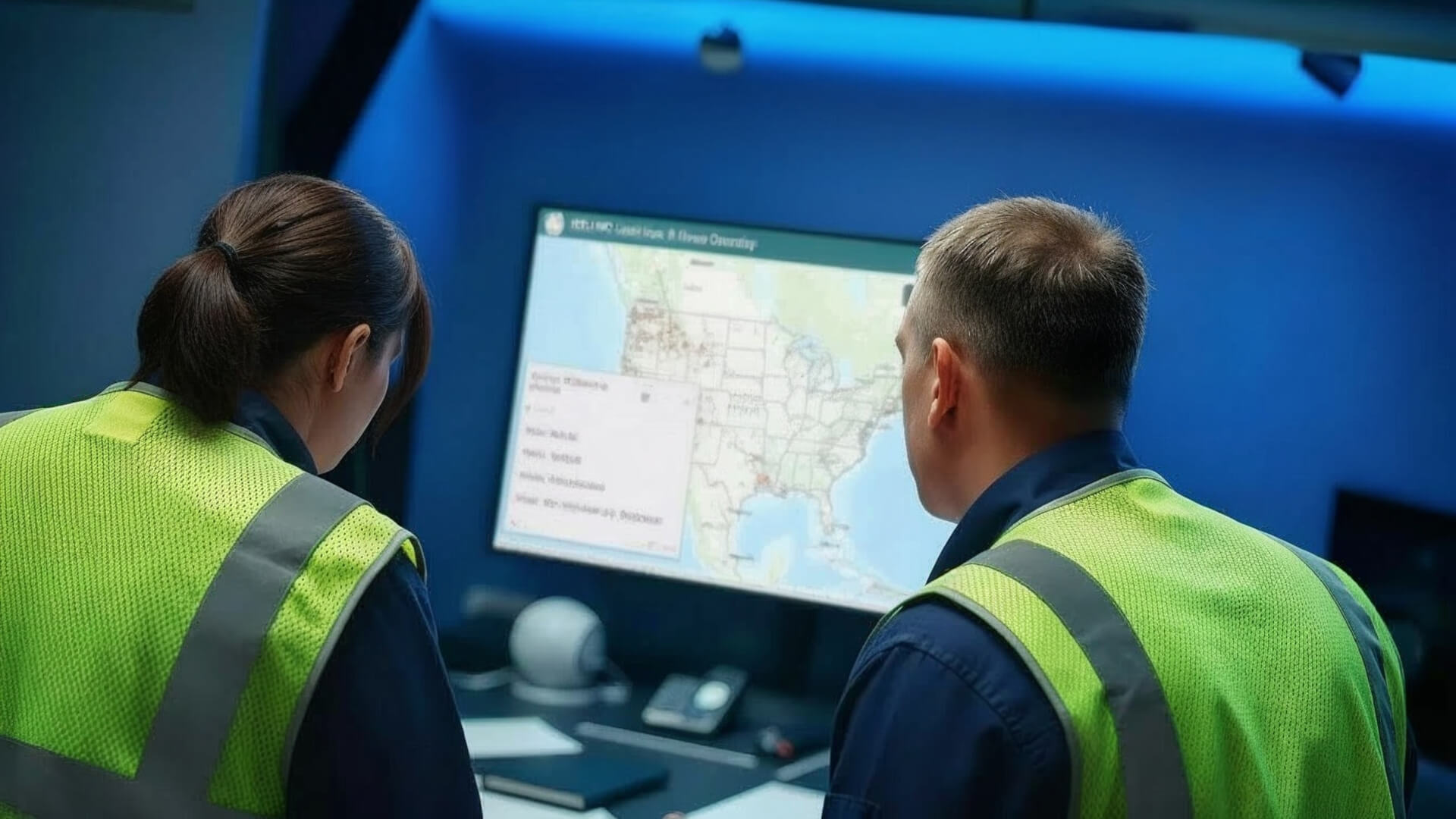
In the midst of incident response activities, emergency managers don’t have the luxury of time to identify and coordinate with all of the parties connected to an impacted area. The LAND database can be accessed through a publicly available web app. Incident personnel will be able to quickly obtain contact information for THPOs who have identified the incident location to be of concern to the Tribe.
Areas of Interest
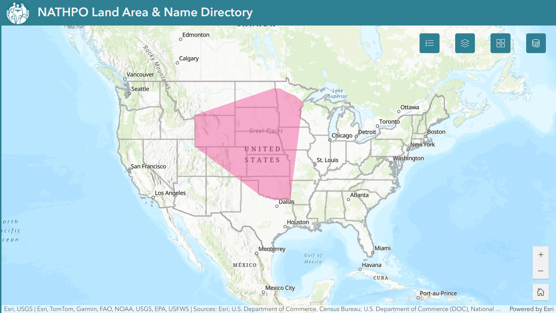
The key components of the LAND project are the Tribal areas of interest (AOIs). These may be traditional territories, ancestral lands, counties of interest or other extents, but how these are delineated is entirely at the Tribes' discretion. AOIs (e.g. the red area on the map) can be provided as GIS-ready spatial data, hard copy or digital maps, lists or tables of existing boundary units, or other descriptions of discrete geographic areas. In most cases, AOIs should be generalized to protect sensitive locations.
How to Participate
Outreach for the LAND project will take many forms including: email/phone, in-person visits, regional meetings, webinars, workshops, and conference presentations/booths. In addition to encouraging project participation, we also welcome feedback on Tribal needs, project development, database content, data updating process, or any other issues of concern. If you are interested in participating in the project or have any questions, please contact:
John Swigart, NATHPO Geospatial Director GIS@NATHPO.org.
A project information sheet can be accessed here.
Tribal Working Group
The LAND Tribal Working Group helps guide the project throughout its development. We meet regularly to discuss data sovereignty, relationship building, data management, user experience, promotion, and other relevant issues. If you are interested in joining the Tribal Working Group, please contact:
John Swigart, NATHPO Geospatial Director GIS@NATHPO.org
Funding and Timeframe
The LAND project is primarily funded by the DOI Inland Oil Spill Preparedness Program administered through the National Park Service and is also supported by the US Forest Service. We anticipate completing the first round of data collection by the end of 2026, and the web app will undergo user testing shortly thereafter.
